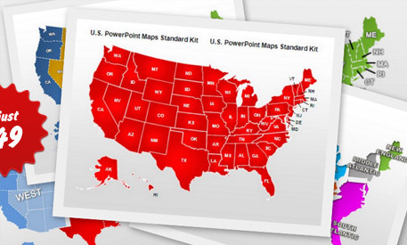
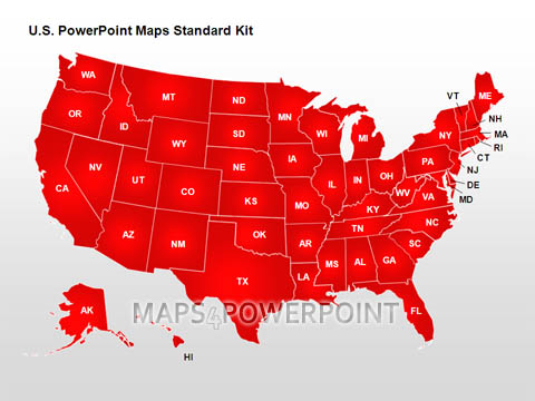
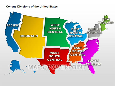
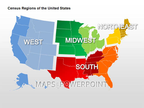
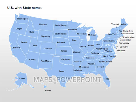
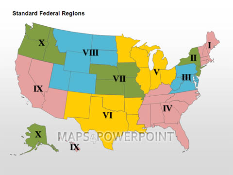
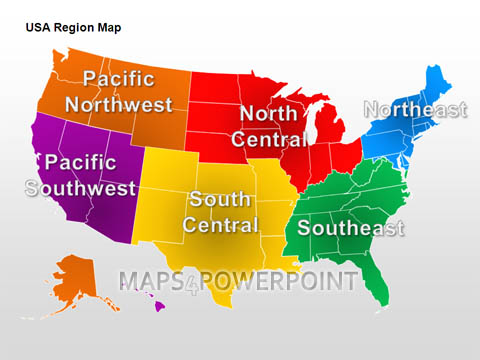
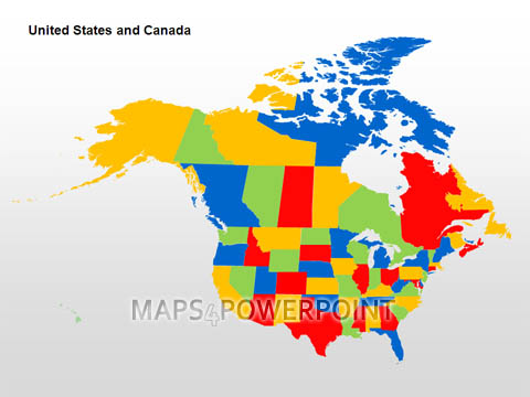
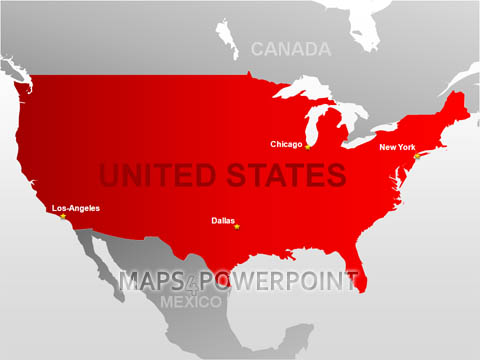
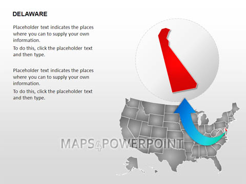
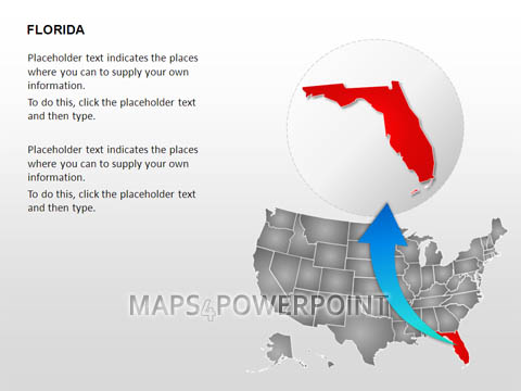
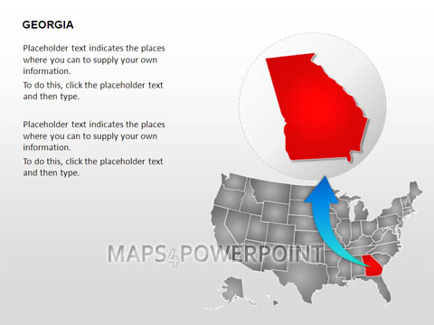
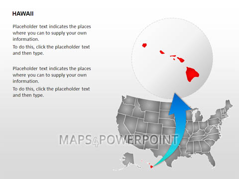
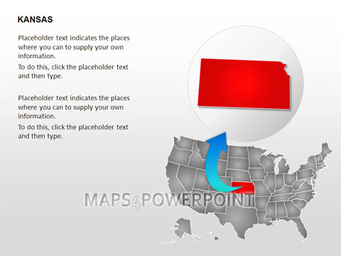
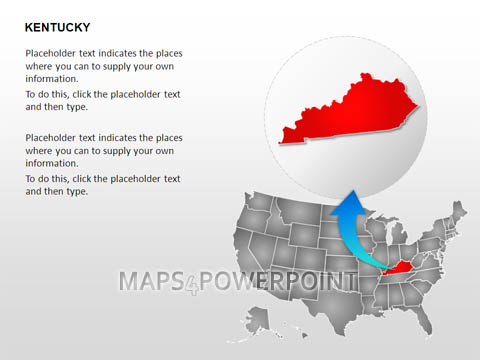
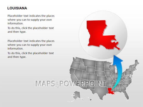
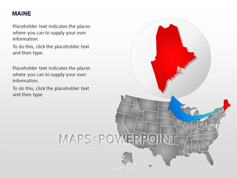
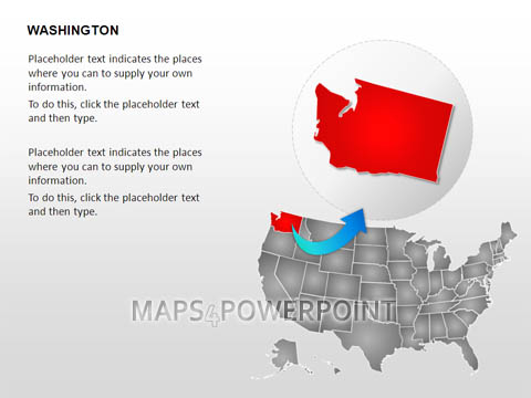
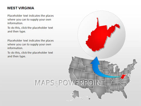
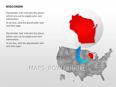
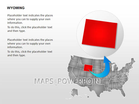
U.S. POWERPOINT MAPS STANDARD KIT
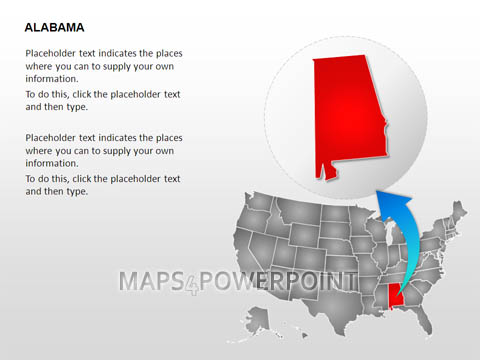
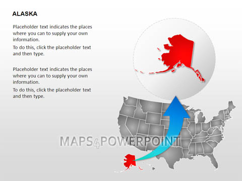
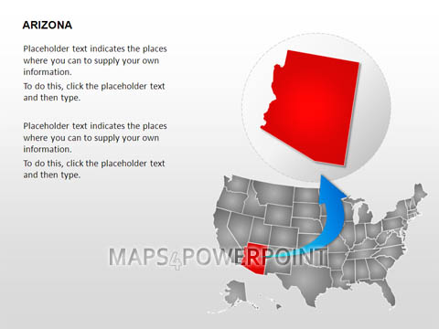
Every PowerPoint Map features high-quality visuals, accurately drawn regions and is built of editable scalable shapes. Colors and texts within any slide can be easily customized.


The package includes:
- 60 predefined PowerPoint editable U.S. maps
- High-end scalable graphics that looks excellent both on your screen and on paper
- Every region features customizable colors and texts
- The package provides several templates and example map layouts
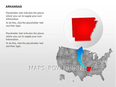
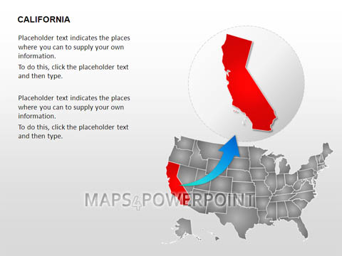
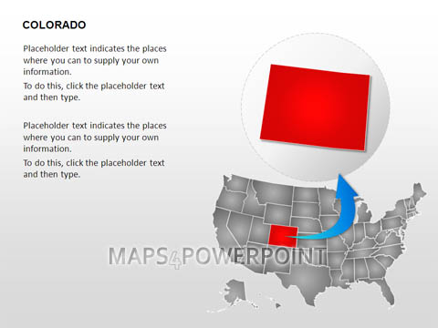
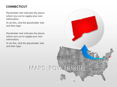
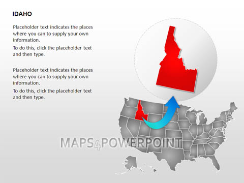
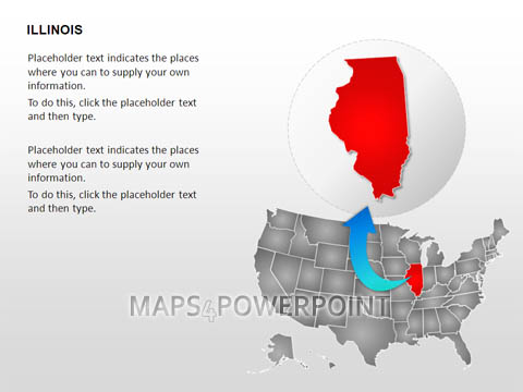
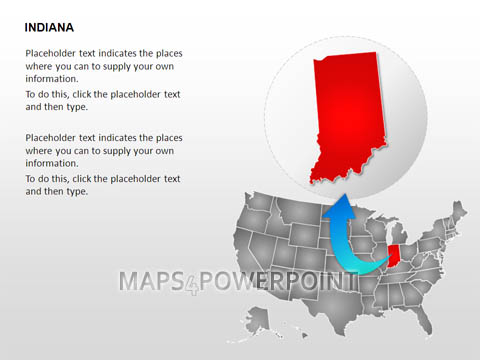
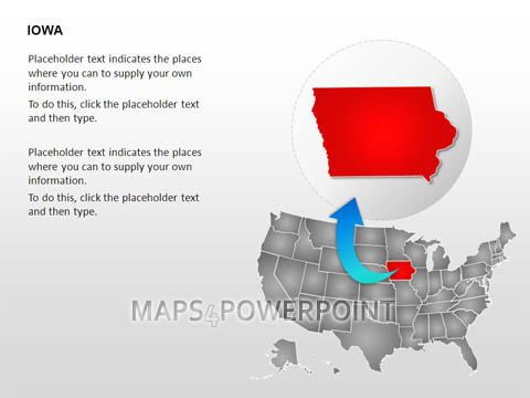
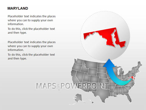
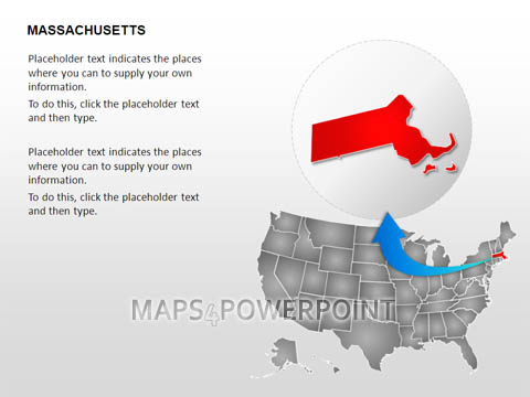
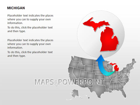
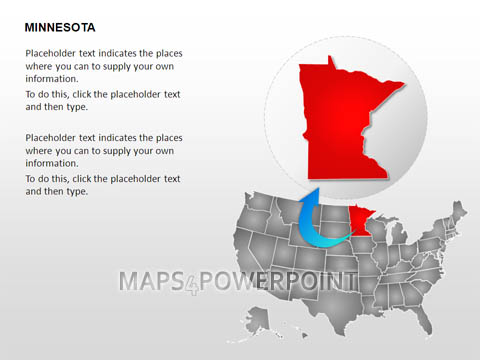
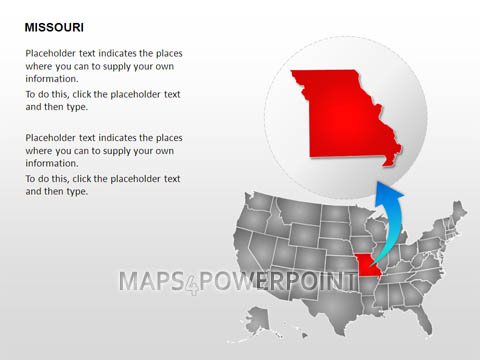
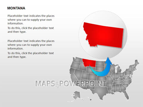
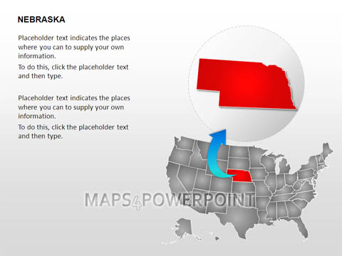
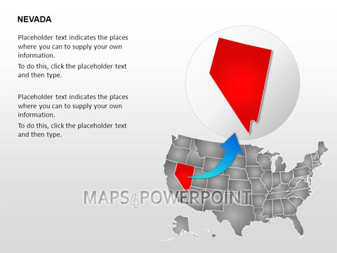
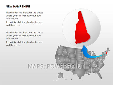
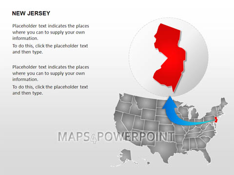
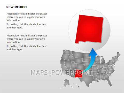
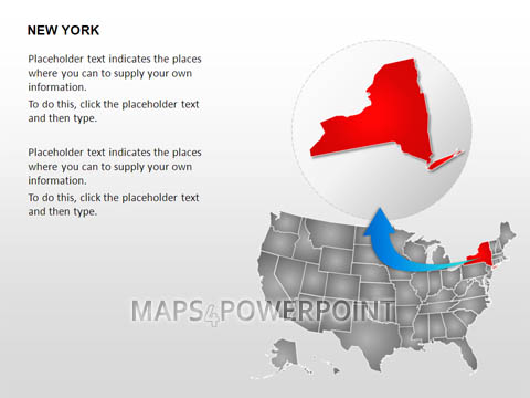
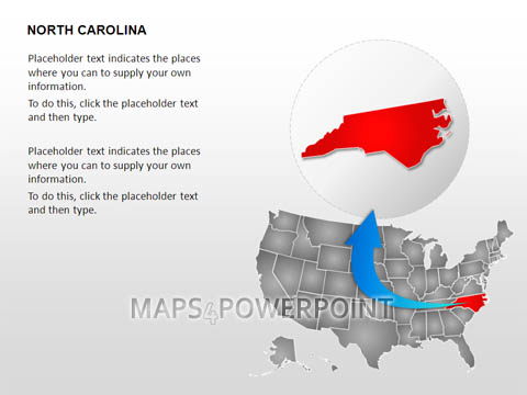
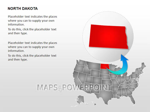
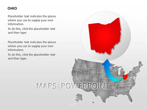
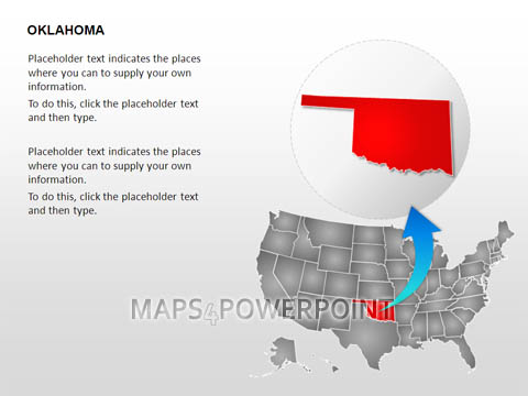
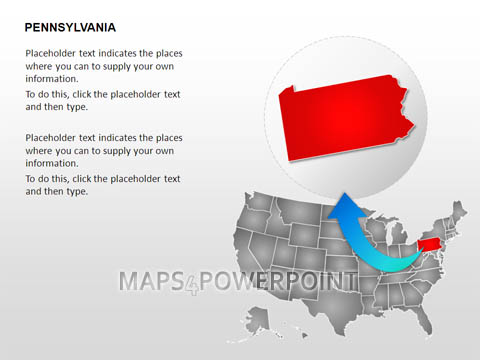
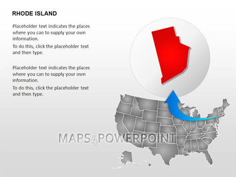
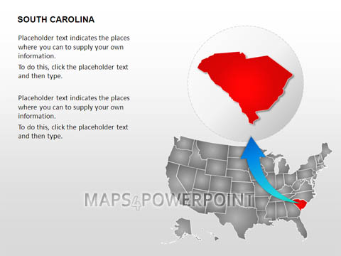
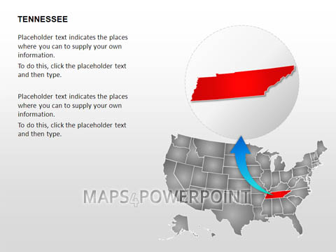
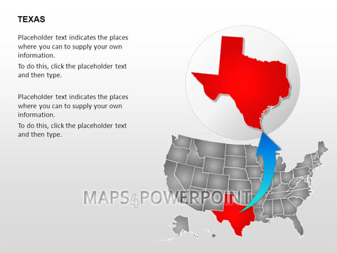
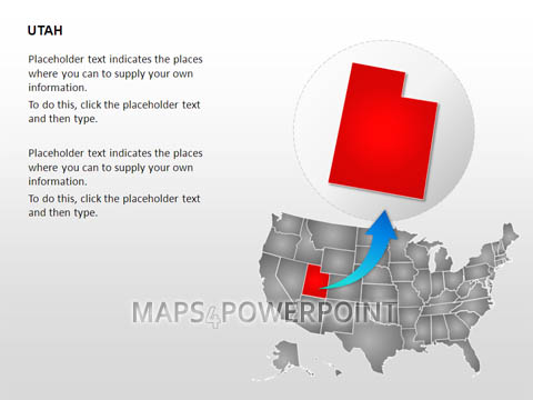
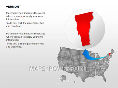
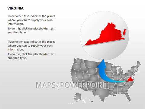
- Offers click-and-type placeholder texts for your own descriptions